
Technological & Environmental Management Network Limited
Providing comprehensive consulting and construction services in the field of environmental management since 1993.
Our Services
-

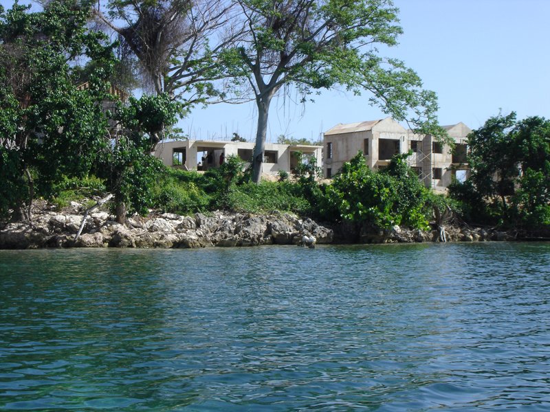
Environmental Impact Assessment (EIA)
TEM Network has carried out Environmental Impact Assessments (EIAs) for a variety of projects including:
• Port development
• Dredging and Reclamation
• Housing development
• Oil refinery expansion
• Resort Development
-

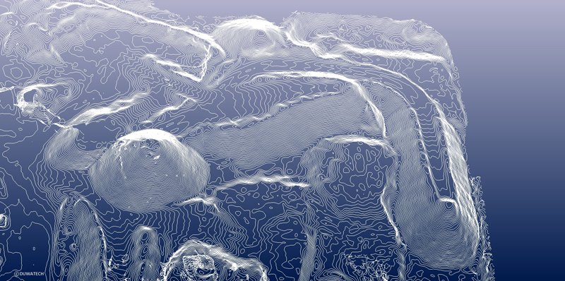
Coastal Engineering
TEM Network offers ocean engineering solutions for coastal reclamation, development and assessment, relying on the Coastal Modeling System (CMS), numerical models, developed by the US Army Corps of Engineers and applied to simulate wave field, current field, and sediment transport by breaking waves.
-
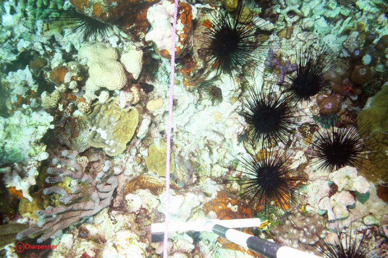
Environmental Monitoring
TEM Network undertakes environmental monitoring for clients to ensure fulfillment of permit conditions as well as to check the status of compliance with issued lisences.
-

Environmental Audits
We conduct audits and training sessions to review the integrity of Environmental Management Systems (EMS) and prepare our clients for third party (certification) audits against ISO 14001 standard.
-

Annual Emmission Reports
We issue timely reminders to our clients and provide assistance in preparing annual emission reports under the National Air Quality Regulations. Our timely intervention ensures that licence holders are compliant with the local regulations and hence conform to international standards.
-
Permit Applications
Under Jamaica’s NRCA Act, A Permit is required to undertake any construction, enterprise or development of a prescribed nature anywhere in the island and the Territorial Sea. The permit is intended to safeguard the various environmental/natural resources from direct damage due largely, but not exclusively, to physical development.
-
Aerial Surveys
TEM Network Ltd., offers state-of-the-art survey and monitoring tools using advanced Unmanned Air Vehicle (UAV) technology. These tools can provide, in particular, engineering-grade surveys at a much reduced cost when compared to conventional methodologies. Services include but are not limited to:
• low-altitude high-resolution aerial surveys
• close-range photogrammetry
• infrastructure inspection and geographical mapping